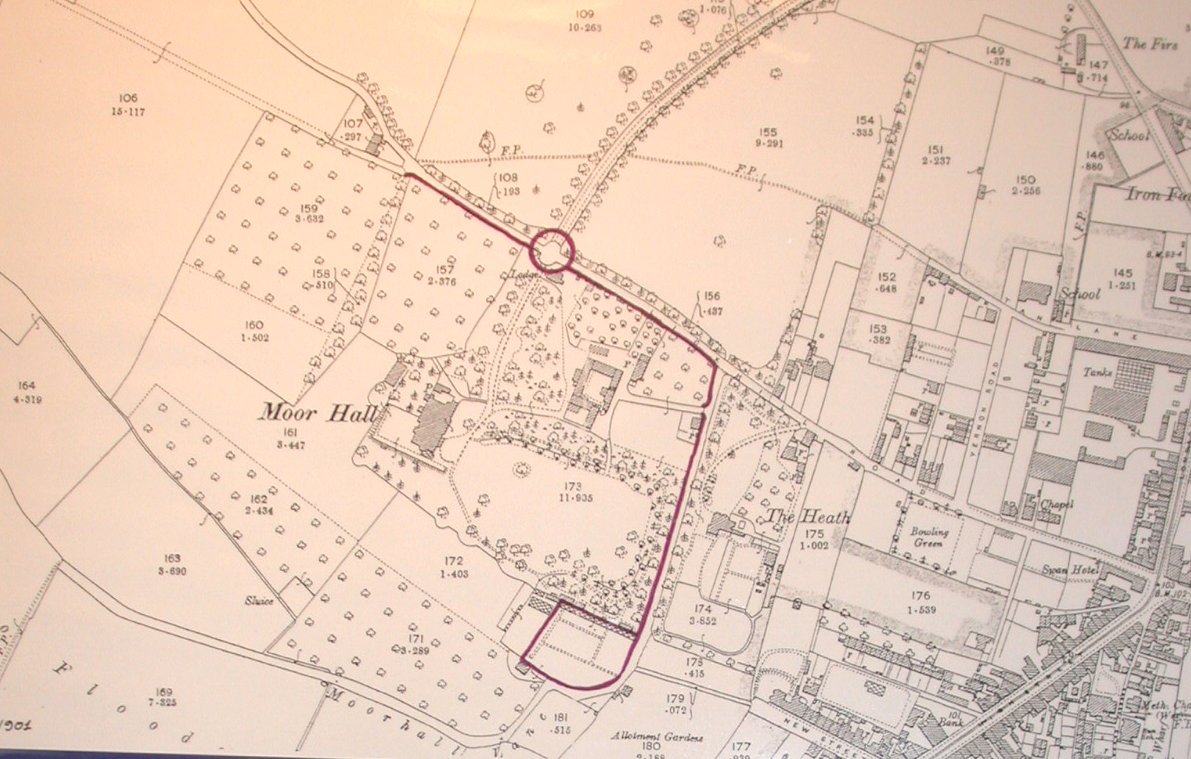
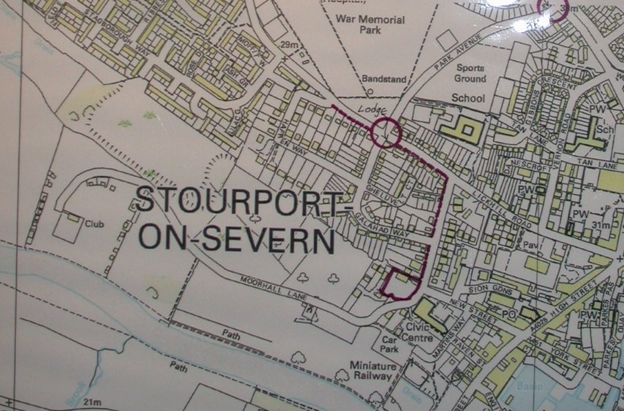
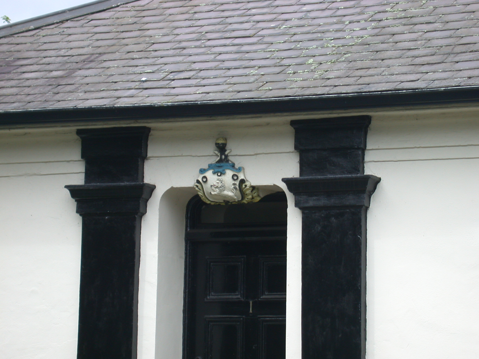
Some of the most obvious ones are down Moorhall Lane. Those on the right as you go down to the river are the ones that belonged to Moor Hall. Moorhill, later called Moor Hall, was the residence of Jonathan Worthington and called a 'New Mansion' in "The Cambrian Traveller's Guide" 1813. It is not possible yet to describe exactly where all its boundaries were. The sale details of 1844 described Moor Hall as "A mansion of importance seated on an eminence in park-like grounds, the property and residence of Jonathan Worthington who is about to leave the same with domestic offices, coach house, stabling, very superior agricultural buildings, cottage, gardens, hot and green houses, plantations, pleasure grounds and upwards of 105 acres of excellent meadow, orchard and arable land"
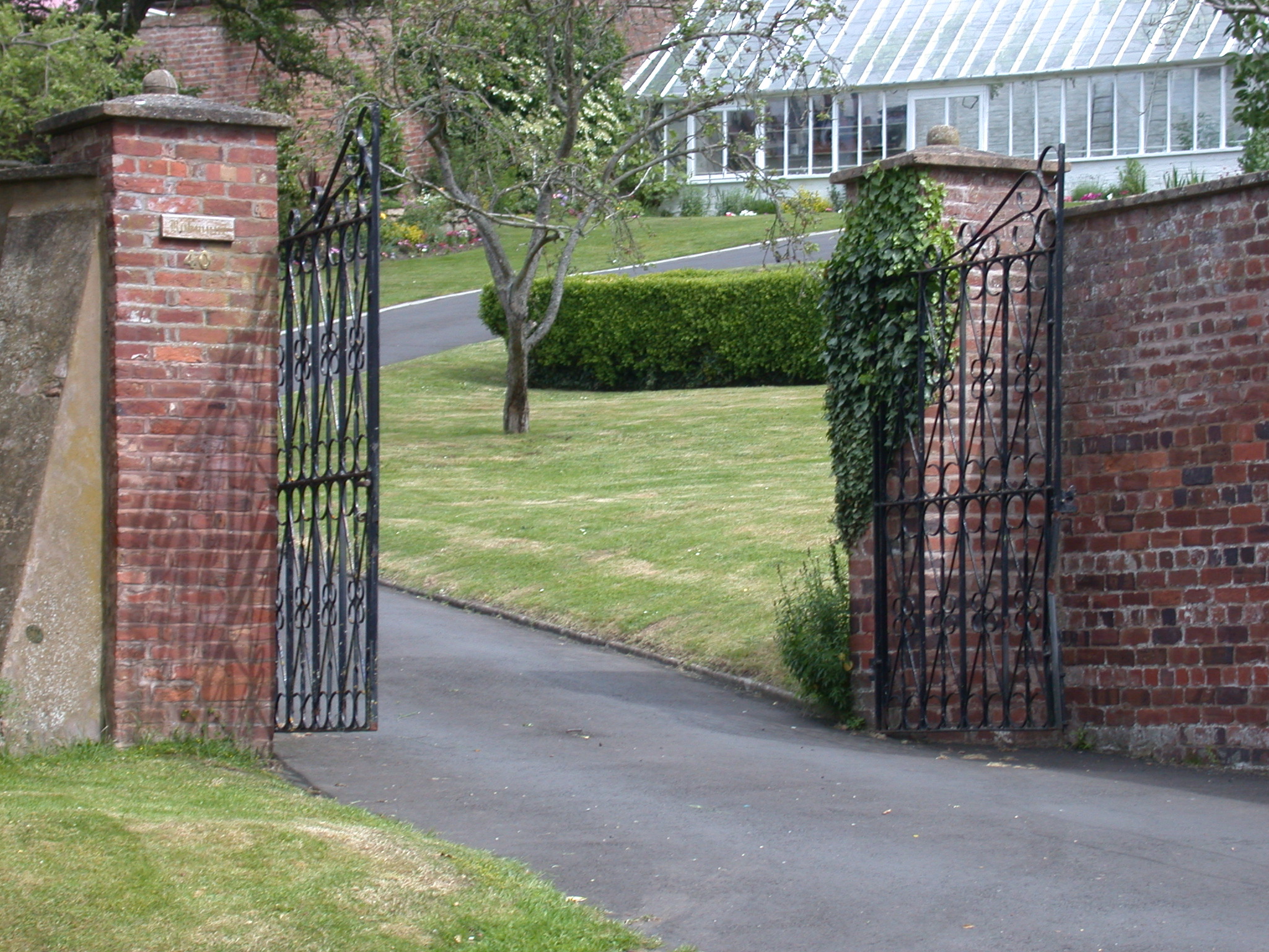
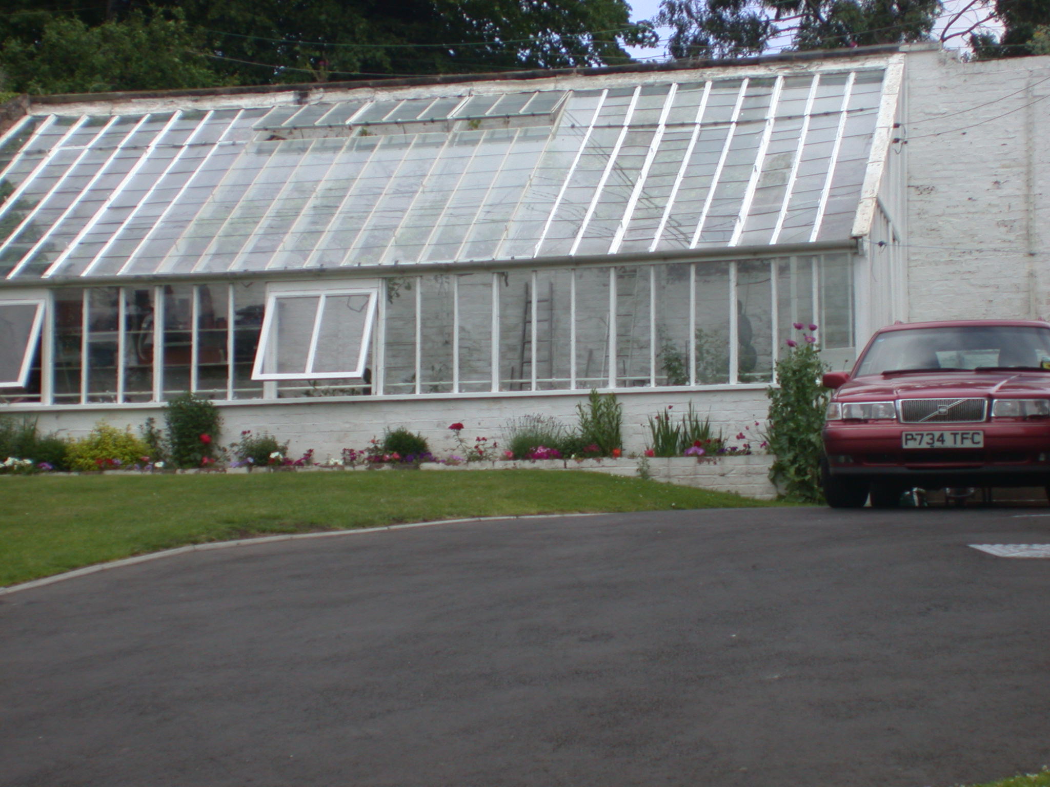
Moor Hall gradually became derelict in the 1920's and later demolished. Today only the walls, two lodges and a couple of gateposts remain as physical evidence to show what a grand place and estate it once was. The most complete bit is around what was the kitchen garden which is now the garden of "Robwynne" owned by Mr. and Mrs. Blunt.
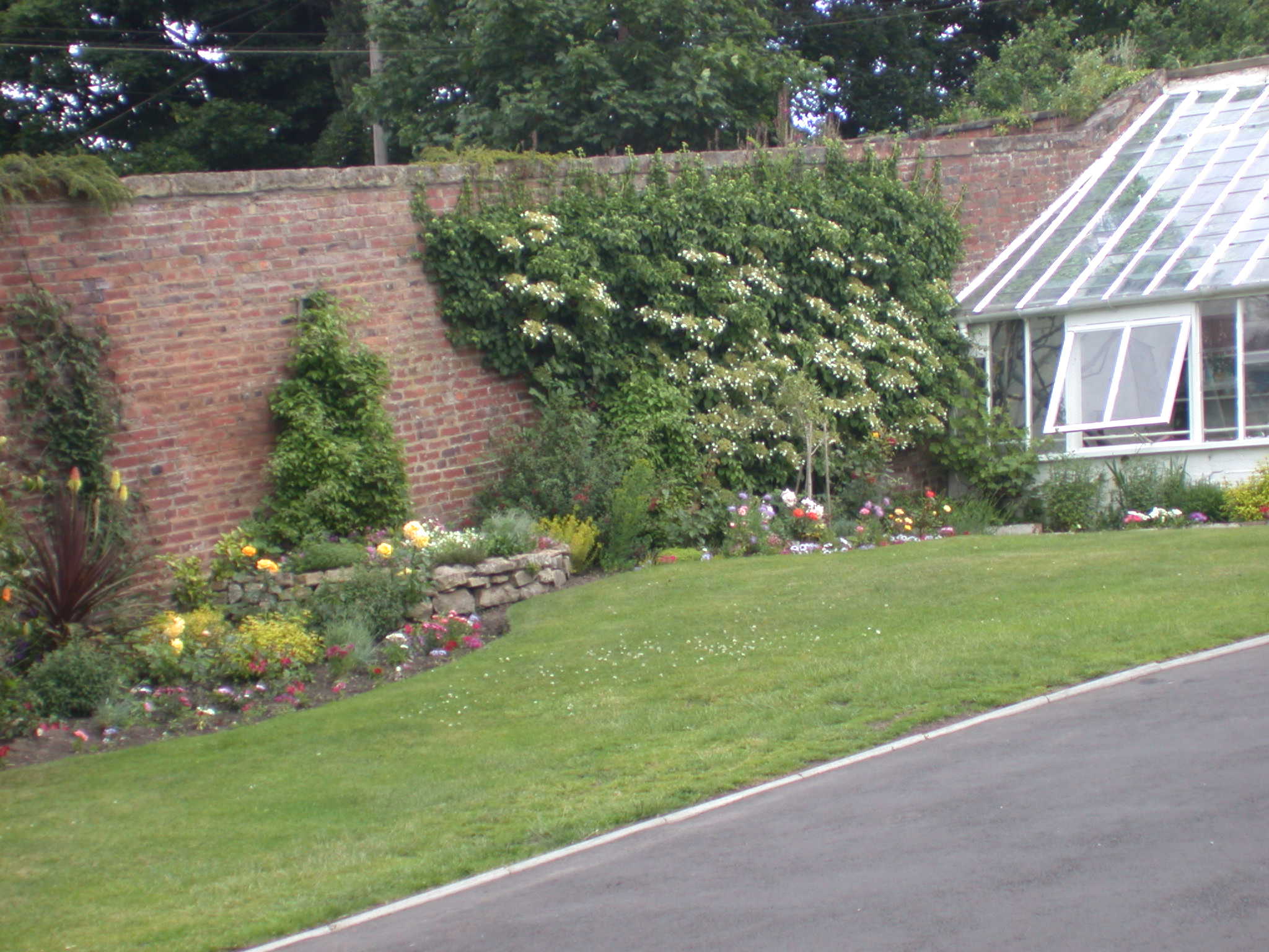
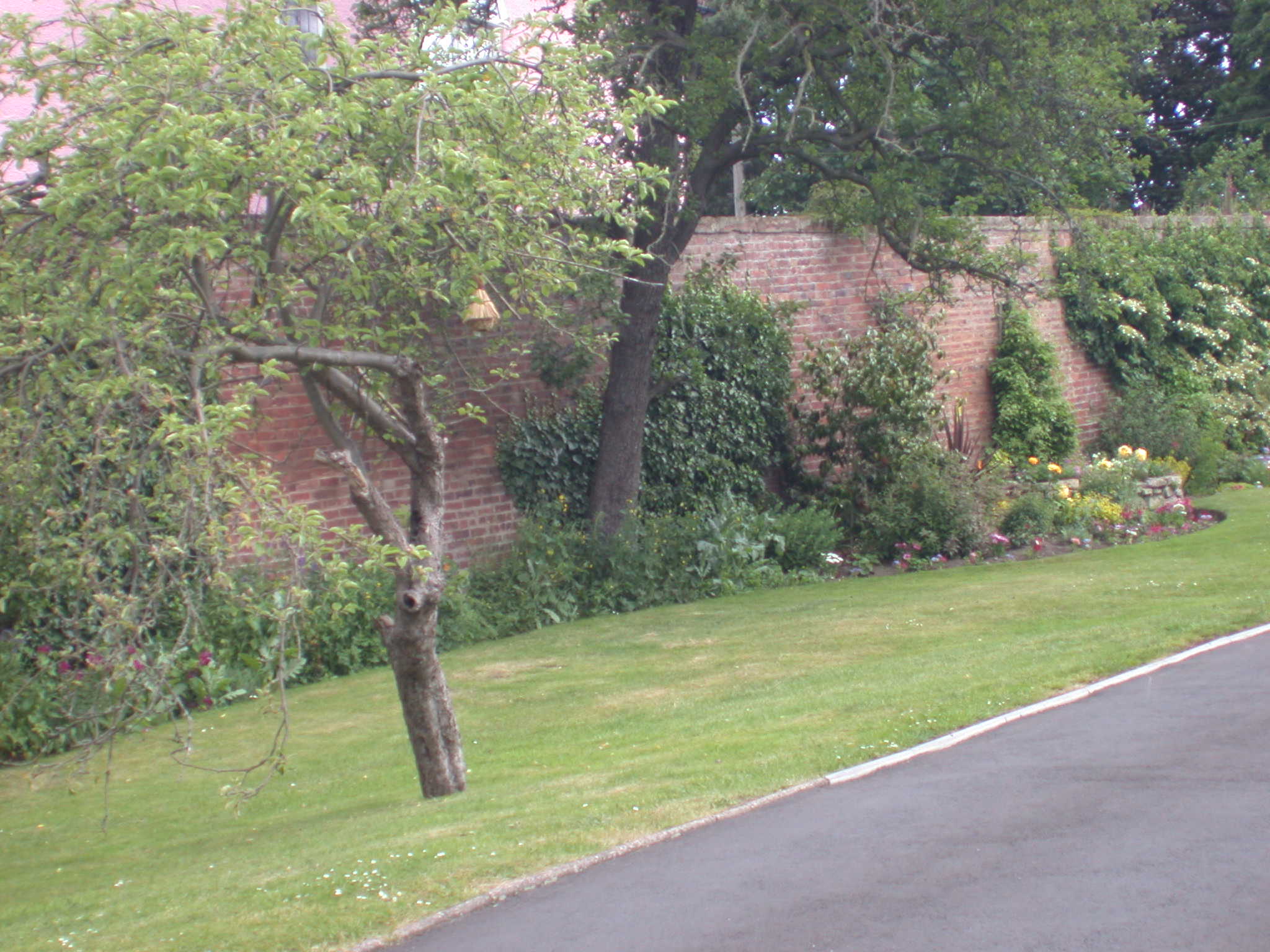
Mr. Blunt built the gate posts to the entrance he made, which complement the walls so well, out of the original bricks.
 |
 |
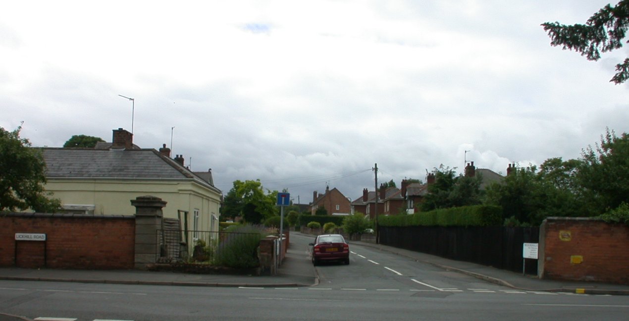
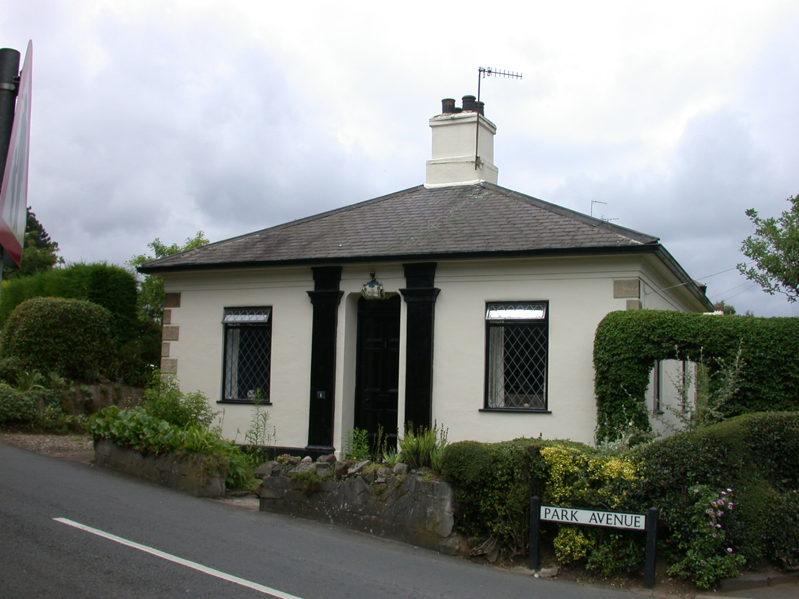
There was another pair at what is now Park Lane, but only the lodge remains.
 |
 |
Other walls that we hope to record are :
- Those on the other side of Moorhall Lane which bounded the house called The Heath, whose lodge remains called Heath Lodge.
- The unbroken wall from Lickhill Road to Tan Lane (can be seen from the Co-op Car Park).
- Bullocks Nursery walls, near the Social Day Centre, New Street.
- And many, many more.
This page researched by Peter Hall and Jill Fairbrother Millis
This page last updated 10 February 2006
